A coloured picture of a field is how drone farm mapping usually sells itself. The picture is real. But a manager has to ask a narrower question: what does the picture tell me that I could not have written down by walking the block? Sometimes the answer is nothing. Sometimes it is the only way to get the answer at all.
Start with one limit. This piece's fact bank holds no Kenyan flight price, no Kenyan operator rate and no Kenya shilling figure for mapping. It does hold documented service prices from other countries and a body of extension guidance from the United States. We use those openly, and we say what changes when you bring them to a Kenyan block.
Measured by NuaSense weather stations and soil probes on Kenyan farms, over the period stated with each figure. Past readings, not a forecast.
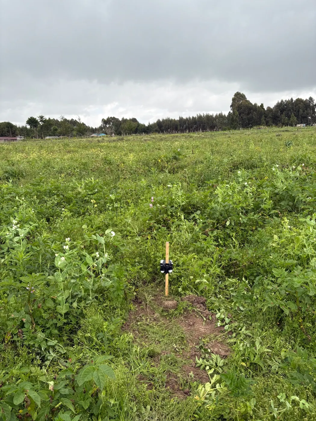
What one flight produces
According to the FAO's review of drones for smallholders, drones can be used for crop monitoring, mapping and field assessment, checking crop conditions, spotting stressed areas and early detection of pests, diseases and weeds. The same review lists mapping land to draw plot boundaries and support parcel measurement.
Three outputs matter to a farm manager. First comes a boundary: where your block starts and stops, drawn from the air. Next comes a stand count, a tally of plants early in the season. Then comes a stress map, a picture where weaker plants show up as a different colour from healthy ones.
A fourth output is easy to overlook. The FAO review notes that drones support rapid damage assessment after storms and floods, and after fire and wildlife damage. A dated image set taken after the event is evidence. A notebook entry is a claim.
None of these outputs is a decision. A stress map says where plants differ. It does not say why, and it does not say what to do. That step still belongs to someone standing in the field with a spade and some knowledge of the crop. Keep that in mind through the rest of the piece, because the sales pitch tends to skip it.
Stitching is what you are really paying for
The aircraft is the cheap part of the idea. The University of Illinois Extension guide to choosing a mapping platform explains why. Stitching is what you call putting hundreds or thousands of photos together into one map, and that is what creates a record you can compare within a season and across years.
The same guide is blunt about the alternative. A quick flyover looking for colour changes and photographing problem areas gives only a basic overview, not a complete picture for future comparisons. That is the dividing line. A flyover answers today's question, while a stitched map answers next season's.
Stitching brings its own demands. Mapping software can build shape files that pin down particular spots in the field, which helps when you want to send a crew or an agronomist an exact patch to work. Bigger maps may take overnight to process, either in the cloud or on your own computer. Cloud platforms call for a very high-speed internet connection with a high usage limit, and the guide points out this is a problem in rural areas. DJI Terra works the other way: it does its map processing entirely on a computer.
For a Kenyan block, the connection point is the practical part. Pushing thousands of images through a patchy mobile signal is a real obstacle, not a footnote. Bring in a provider and ask two things: where the processing happens, and whether the finished map reaches you as a file you can open on a phone.
What the cheap flight and the multispectral flight each give
The University of Nebraska extension guide to getting started with drones splits things into two tiers. A cheap, consumer-grade drone carrying a standard RGB camera and a video feed down to the ground control station will do real-time scouting, spotting the areas that need a look. That is the cheap tier, and it needs no special sensor.
Tier two is georeferenced multispectral imagery. It leans on sensors beyond standard RGB, plus image processing, to turn out maps of crop condition or stress. Buying and running it costs more and it takes skill and time, says the guide, so growers often hand collection and processing over to a crop consultant or an image service.
The physics earns a paragraph of its own. A healthy plant throws back far more near-infrared than a stressed one, and the red edge band ties in with plant health as well. A 3-band camera may pick up green, red and near-infrared. A 5-band camera adds blue and red edge. Most of these are passive sensors reading reflected sunlight, so the guide advises a downwelling light sensor, which lets you compare one image against another.
Take that last point as a warning. A colour map shot under shifting cloud, with no light correction, can show differences that come from the sky and not the crop. Cloud cover is routine over many Kenyan farms, so before you accept a stress map as fact, ask any provider how they correct for light.
Fixed wing or rotary: a choice that follows field size
The Nebraska guide sets out the two airframes plainly. Rotary-wing drones lift off vertically, hover, let you inspect the crop up close, and usually cost less than fixed-wing. Fixed-wing drones glide, and they can stay up longer across large fields.
The guide was written for North American farms. Move it across carefully. Plenty of Kenyan commercial blocks, a greenhouse range or a series of irrigated plots, are small enough that endurance is seldom the limit, and a rotary machine that can hover over one patch fits the work better. It is on a large estate or a long run of contiguous fields that a glider starts to make sense.
You likely won't pick the airframe yourself. When you hire, the provider brings whatever they own. Your job is to match the question to the machine. A single suspect patch needs a rotary aircraft. A whole-estate baseline needs endurance, so ask the operator how they plan to cover it.
Hills change the job too. The CGIAR piece on drones in rice farming in India and the Philippines points out that rugged terrain, with many fields on slopes or in places that are hard to reach, makes drone navigation difficult. Farms in the Kenyan highlands with steep sections will hit the same problem. A flat valley floor and a terraced hillside are not the same job, and quotes should reflect that.
Per hectare, per year, or buy the aircraft
The FAO review finds that smallholder-compatible uptake usually depends on service delivery. The farmer pays per job. The provider handles equipment, compliance and, where relevant, data processing. That setup helps most Kenyan growers because it turns a capital purchase into an operating cost.
The documented prices come from other countries, and they are for spraying, not mapping. Agrodrone.kg in Kyrgyzstan frames its service as an all-in offer starting from USD 14 per hectare and covering the drone and operator, water and transport. Agrofly in Poland offers precision and biological spraying from roughly USD 20 per hectare, plus a subscription from around USD 350 per year.
Don't read those as Kenyan quotes. They come from two providers in two other countries, for a different job. What they do show is the structure to ask for: a per-hectare rate that says what it includes, and maybe a subscription for repeat visits. A subscription only makes sense if you plan to fly the same ground several times a season.
The FAO review does not say service is always cheaper than owning. For a manager with plenty of hectares and steady work, owning may win. But then you carry maintenance, data processing and compliance yourself. The CGIAR piece on India lists high maintenance costs and time-consuming data processing among the adoption problems. Price the whole chain, not the aircraft.
The all-in clause and small plots
The words "all-in" decide whether a small plot is served at all. In the Kyrgyz offer, the price covers transport as well as the flying. For a provider, the flying is the short part of the day. Getting the crew and machine to the field, and coordinating the job, is what makes a small plot uneconomic.
That is why the FAO review's cases show grouped bookings and minimum service fees. A provider who has to drive to one small plot will either charge a minimum or decline. The same logic applies in Kenya, where many growers hold small or scattered parcels.
Here are two practical moves. If you run several blocks, book them together in one visit instead of flying each one separately. If you are a small grower, team up with neighbours or a cooperative so the provider sees one job, not five errands. An agrovet with a catchment of farmers is in a good position to arrange exactly that.
Watch out for a quote that does not say what is included. When transport, processing and delivery of the map are billed separately, the headline rate tells you little. Ask for the total for your hectares in writing. Ask what you receive too: raw photos, a stitched map, or a map with analysis. Those are three different products.
When a notebook walk does the same job
The test is simple. If you only want to know where the problem patch is, a walk answers it, and so does a cheap RGB drone with a video feed. The Nebraska guide backs the second option: real-time scouting with a consumer-grade camera to identify areas of concern.
A walk also has an advantage the image lacks. You can touch the plant, dig the soil and smell the field. A stress map shows a colour difference. The cause, whether a pest, a waterlogged corner or a blocked emitter, you find on foot. The sources call drones monitoring tools, not diagnostic ones. They do not say a drone replaces walking the field, and we will not say it either.
So for a block you can cross in a morning, a notebook with sketched boundaries and marked patches is enough. Date the entries and note the weather. That gives you a crude record at no cost.
The walk fails when scale or comparison enters. A block too large to cover on foot in good time hides its patches. And a notebook cannot give you what the map gives: a stand count, a shape file, or a picture comparable with the same field a year earlier. If you need any of those three, the walk is the wrong tool. If you need none of them, do not buy the flight.
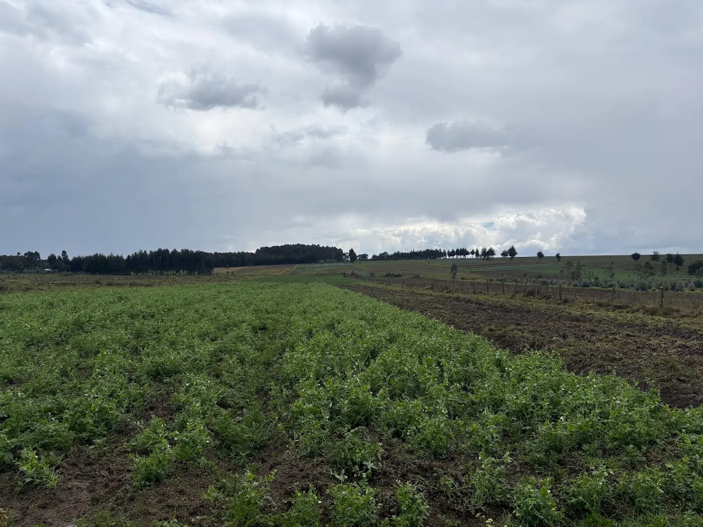
Weather, terrain and the flights that never happen
Flights get cancelled quietly. The CGIAR report on rice farming in India and the Philippines says that in the Philippines high humidity and unpredictable weather affect drone performance and sensor accuracy, and persistent rain and strong winds in the monsoon limit the window for flights. Rice fields add their own problem: crops frequently stand in water, and water interferes with sensor readings.
Those findings come from rice in Asia. The Kenyan transfer is about the mechanism, not the crop. Wind, rain and standing water limit flight windows and sensor accuracy anywhere. Our own network gives a measured example of how often conditions are poor. Over 04 September to 04 October 2026, across 7 NuaSense weather stations, 56 percent of 4817 station-hours scored below 30 on our spray quality index, and only 17 percent scored 60 or better. That index is for spraying, not flying, so treat it as a rough guide to how often wind and humidity are unhelpful, not a flight rule.
Leave yourself some room. A provider you book for one day may still lose that day. Before you start, settle what happens if rain scrubs the flight: either they rebook you at no charge or they charge a new fee. And as noted earlier, light matters for multispectral work too.
Wind data helps here. A station on the farm reports wind speed and gusts every 10 minutes, and each gust is the peak within that interval. Looking at the past record tells you how windy your mornings usually are. It is not a forecast, so it does not tell you what tomorrow holds.
Where a first flight is easily justified
Agronomy is not behind every case. The FAO review lists land mapping for drawing plot boundaries and supporting parcel measurement. Need a boundary drawn? A dated image set is a durable record, and a one-off flight can cover it.
Damage is the second case. After a storm, flood, fire or wildlife raid, a flight gives you documentation that a walk cannot match in the same way. If you need to convince an insurer or a landlord, images taken soon after the event carry weight. The sources do not claim legal standing for such images in Kenya, so check with whoever you need to convince before relying on them.
Third is stand count. The Illinois guide says DroneDeploy handles stand counts early in the season. Agremo offers stand counts later, plus field health, green snap, lodging and flowering progress, but it needs precise settings to give accurate results. Counting by hand in one plot cannot tell you the stand across a large field.
See what these cases share. Each one gives you a document, a number or a boundary, not a diagnosis. That is the kind of output that earns a flight its fee. If the value is a feeling that you have seen the whole farm, it does not earn its fee.
Where the evidence is thin, and what to ask for
Treat big numbers with scepticism. One CGIAR piece puts the global agricultural drone market at US $32.4 billion, compared with US $127 billion for all drone-powered solutions. A separate US extension source cites over $32 billion for economic impact, from a 2016 estimate. Those are global figures. They tell you nothing about Kenya or East Africa, and nothing about whether a flight pays on your block.
Adoption numbers are more modest. In a Joint Research Centre survey across selected EU Member States, about 3 percent of farmers used drones for monitoring. On smaller farms, monitoring use is around 1 percent. Roughly 2 in 3 farmers thought spraying drones were expensive. The FAO review adds that farm-level use often begins with spraying, since spraying is easier to understand than monitoring and analytics.
A CGIAR-hosted review of drones in agriculture in Africa and other ACP countries finds drones may not suit what smallholder and subsistence farmers need right now. The India findings add that even when problems are identified, farmers may lack the resources to act on the data. A map you can't act on is a poster.
Before paying, put four questions to the provider: What will you receive? What does the rate cover? What happens if weather cancels? What will you do with the result? If you cannot answer that last one, you are not ready to buy.
The position: walk first, hire for the map, buy last
This is the order we would follow. Begin with the notebook walk. It costs nothing, and on most blocks you can cover on foot it tells you where the problem sits.
Hire a flight when you need something a walk cannot give: a stitched map to compare across seasons, a stand count, a shape file, a boundary, or post-damage documentation. Book through a service provider, group your parcels, and insist on an all-in quote. Buy a cheap RGB drone only if you will scout often. Then expect to carry the maintenance and processing yourself.
Leave multispectral mapping alone unless a specific decision rests on it. The guide calls it dearer and skill-heavy, and the sources do not list it as a requirement for basic scouting.
Drone images only show what the aircraft can see from above. Weather and soil conditions at the root are different questions. A farm weather station logs rain, wind and humidity every 10 minutes, while soil probes report moisture in percent of sensor scale. To see whether sensors pay on your acreage, read the post on working out if farm sensors will pay. For the broader choice among apps, sensors and extension, read farm tech in Kenya. NuaSense's own write-up on IoT applications in Kenyan agriculture covers the sensor side in practice.
We give no figures on regulation. Commercial flying in Kenya involves the Kenya Civil Aviation Authority, and operators should hold the permissions it requires. Ask any provider to confirm they are compliant. Never rely on a rule from another country.
The options side by side
Prices below are structure, not Kenyan quotes. Where a figure exists it comes from the documented foreign providers above.
- Notebook walk: no cost beyond your time. Gives patch locations and a cause you can check by hand. Cannot give stand counts, shape files or a cross-season record.
- Cheap RGB drone you own: a purchase plus your own upkeep. Gives live scouting of problem areas. Needs processing effort for a full map.
- Hired mapping flight: pay per hectare, with documented foreign spraying prices from USD 14 and roughly USD 20 per hectare. Gives a stitched map, boundaries, counts. Check inclusions and weather terms.
- Multispectral service: dearer, needs skill, usually contracted. Gives crop-condition and stress maps. Worth it only if a specific decision depends on it.